Hello world!
Welcome to WordPress. This is your first post. Edit or delete it, then start writing!
LOB Solutions is a multifaceted company that was created to satisfy the geospatial and renewable energy needs of the Caribbean with a particular emphasis on Jamaica. Geography in combination with computer technologies have emerged as two of the most important areas in the twenty-first century. At LOB Solutions we help our clients with elements of WHERE in all the decisions they make.
Our mission is to provide our clients with world class solutions to realize the most efficient outputs and to maximize return on investment. At LOB Solutions we aim to be the number one GIS and GPS field work company in the Caribbean while offering cost effective and intelligent services.
Getting it Done!
Mr. Luke Buchanan, an esteemed geospatial professional based in Kingston, Jamaica, boasts extensive expertise in business development, software development, environmental projects, commercial ventures, and diverse spatial solutions. Since 2007, Luke has spearheaded the advancement of Geographic Information Systems (GIS) solutions across Jamaica and the Caribbean, playing pivotal roles in general GIS and GPS Navigation Systems development in Jamaica. In 2021, he successfully attained his Master of Science Degree in Natural Resource Management (NRM) from the University of the West Indies, complementing his Bachelor of Science degree in Geography and Earth Science from the same institution.
Luke has been actively engaged in GIS, Road Safety, and Technology Training since 2007, imparting knowledge to both undergraduate and post-graduate students at the University of the West Indies and professionals across Jamaica and the wider Caribbean region. Additionally, he has been involved in numerous data-related initiatives.
Throughout the last 16 years, Luke has collaborated with more than 50 organizations across Jamaica, the Caribbean, and North America, spanning various domains including business development, software engineering, environmental applications, geospatial sciences, and GPS navigation systems.
His responsibilities over the years include in-house mapping, field mapping, procurement of
GPS hardware, cartography, project management, proposal preparation, planning and
execution of field data collection, assisting with GIS training, social media content creation, and
social media management. Luke has also been the GPS Navigation Specialist since 2011
where he is responsible for the collection and configuration of spatial data and the building of
navigable maps for JAMNAV.
Luke has managed the development of a system called the Systematic Analysis for Emergency
Response (SAFER) that will be a web-based rapid response system for high level analytics to
be available for use by key stakeholders in Jamaica. It is an electronic system that receives and
provides information and is responsive to stakeholders to guide their decision making in
response to the situations that arise, and the interventions required in relation to crime and
health. This is a data analytics tool that is able to bring all the different types of data sets
together to show how community and island wide response should occur in order to meet the
needs of the population in communities, parishes and special areas of needs.
Luke’s range of professional experience includes GPS navigation systems, management of
software systems development, developing spatial-based solutions for clients across private
and government sectors and training. At MGI he has worked with GIS data and conducted
analysis that has been used towards shaping policy and interventions for crime and violence in
Jamaica. The GIS tools and databases that have been developed, varies from a collection of
crime data to comprehensive web-based decision support systems on which organizations, the
government or the general public rely for making informed decisions in crime analysis and
management.
Luke has managed programmes such as the Situational Assessment Tool (SATool) for the JCF
and implemented at the Half Way Tree and UWI Mona Police Stations. The SATool was
developed to aid the police in compiling and visualizing crime reports made at police stations.
This allowed police station commanders to have a quick overview of the activities in their police
divisions. Luke has trained police officers at the Grants Pen Police Station, the National
Intelligence Bureau and the Belize Police Department in Belmopan in the use of GPS
technology. By working on these projects, Luke has gained extensive experience in training and
skills transfer which equips general users to confidently use the system that is developed, as
well as administrators to independently manage systems deployed.
Over the years, Luke has been involved in projects that look at product development, logistics,
national security, health, education, road safety, crime mapping, GPS navigation &
transportation services, market analysis, training and development of training programmes. The
award-winning GIS-derived application and Jamaica's 1st navigation system (JAMNAV©) is
managed on a day-to-day basis by Luke Buchanan. GPS hardware, cartography, project management, proposal preparation, planning and
execution of field data collection, assisting with GIS training, social media content creation, and
social media management. Luke has also been the GPS Navigation Specialist since 2011
where he is responsible for the collection and configuration of spatial data and the building of
navigable maps for JAMNAV.
Luke has managed the development of a system called the Systematic Analysis for Emergency
Response (SAFER) that will be a web-based rapid response system for high level analytics to
be available for use by key stakeholders in Jamaica. It is an electronic system that receives and
provides information and is responsive to stakeholders to guide their decision making in
response to the situations that arise, and the interventions required in relation to crime and
health. This is a data analytics tool that is able to bring all the different types of data sets
together to show how community and island wide response should occur in order to meet the
needs of the population in communities, parishes and special areas of needs.
Luke’s range of professional experience includes GPS navigation systems, management of
software systems development, developing spatial-based solutions for clients across private
and government sectors and training. At MGI he has worked with GIS data and conducted
analysis that has been used towards shaping policy and interventions for crime and violence in
Jamaica. The GIS tools and databases that have been developed, varies from a collection of
crime data to comprehensive web-based decision support systems on which organizations, the
government or the general public rely for making informed decisions in crime analysis and
management.
Luke has managed programmes such as the Situational Assessment Tool (SATool) for the JCF
and implemented at the Half Way Tree and UWI Mona Police Stations. The SATool was
developed to aid the police in compiling and visualizing crime reports made at police stations.
This allowed police station commanders to have a quick overview of the activities in their police
divisions. Luke has trained police officers at the Grants Pen Police Station, the National
Intelligence Bureau and the Belize Police Department in Belmopan in the use of GPS
technology. By working on these projects, Luke has gained extensive experience in training and
skills transfer which equips general users to confidently use the system that is developed, as
well as administrators to independently manage systems deployed.
Over the years, Luke has been involved in projects that look at product development, logistics,
national security, health, education, road safety, crime mapping, GPS navigation &
transportation services, market analysis, training and development of training programmes. The
award-winning GIS-derived application and Jamaica's 1st navigation system (JAMNAV©) is
managed on a day-to-day basis by Luke Buchanan.

These are the main products and services that we offer:
We use world-class handheld GPS devices to collect accurate coordinates of assets in the field. We are efficient and we work in the harshest most difficult conditions.
We source, calibrate and supply purpose driven GPS units. We supply the following GPS brands:
● Garmin (handheld devices & automotive devices)
● Trimble GPS devices
Unlock the power of Google Ads Optimization with LOB Solutions, your trusted partner. Our experts will help you improve website performance and attract more customers. Get in touch today to discuss your goals and receive a personalized quote.
We supply vehicle and asset tracking GPS devices. Some of the brands we supply include: ● Spot Trace Satellite Tracking ● Tracki GPS Tracker ● LandAirSea 54 GPS Tracker
We use Geographic Information Systems (GIS) to help you make cost-effective decisions. These services include:
● Site Suitability Analysis
● Geospatial Analytics
● Development of Static and Interactive Web-based Maps
● Customer Analysis
● Asset Management
● Business Logistics Modeling & Routing
● Market Development Analysis
We supply a diverse client base such as individuals, real estate developers, security services, governments and the general private sector.
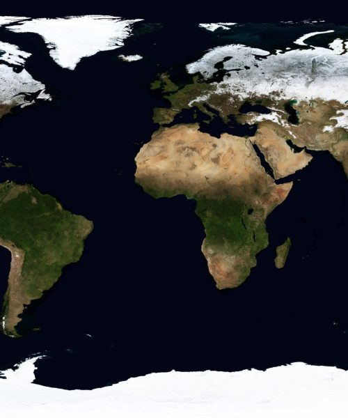
LOB Solutions can provide you with high-resolution earth imagery products and services. These are sourced from our international partners that use advanced satellite systems, to collect satellite imagery on a daily basis. The imagery solutions we offer can be used for a variety of uses such as national security and intelligence, civil agencies, mapping and analysis, environmental monitoring, agriculture, forestry, fishing, geology, education, oil and gas exploration, infrastructure management, cartography and navigation technology.
GIS Stands for Geographic Information Systems. It is an organized collection of computer hardware, software, geographic data, methods and personnel designed to efficiently capture, store, update, manipulate, analyze, and display all forms of geographically referenced information.
Feel free to learn more here:
What is GPS? https://www.youtube.com/watch?v=-ZFmAAHBfOU
Types of GIS Data https://www.youtube.com/watch?v=0mFoe5stnKo
The Global Positioning System (GPS) is a worldwide radio navigation system formed from a constellation of 24 NAVSTAR satellites and their ground stations.
GPS Applications:
Geospatial services provide the technology to create, analyze, maintain, and distribute location-based data and information. GIS, GPS, and remote sensing play a vital role in all of the Service’s long-term goals, including meeting the challenges posed by climate change.
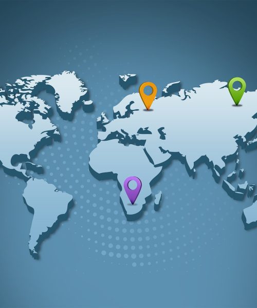
We are located in Kingston in Jamaica but we operate globally.
Yes we currently work with the following companies:


Feel free to click on one of our news articles below:
Welcome to WordPress. This is your first post. Edit or delete it, then start writing!
View our Gallery!